Strike plume at the Subiya power and desalination plant, Kuwait
Subiya power and desalination plant, northern Kuwait Bay
Snapshots are curated, event-dated observations from open satellite data. They document specific events; they are not the systematic instrument records above. Every image carries its provenance in-frame.
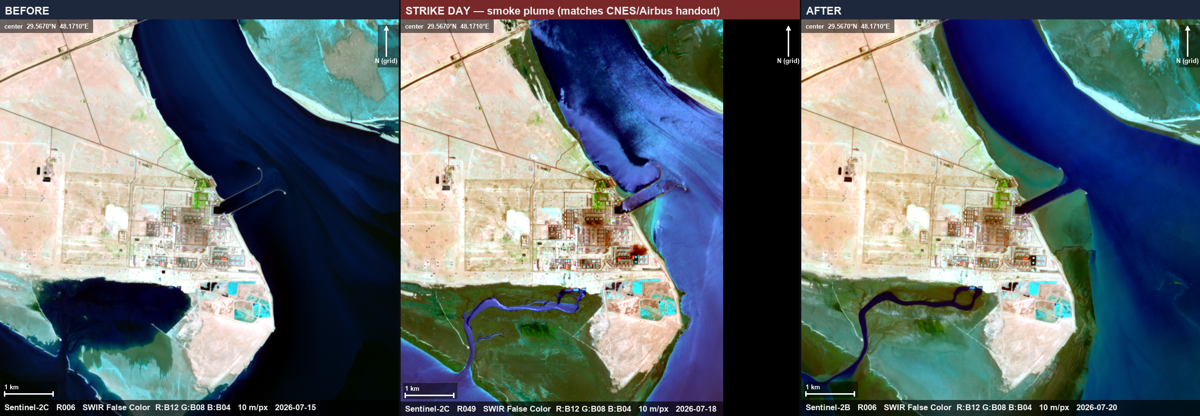
Caption
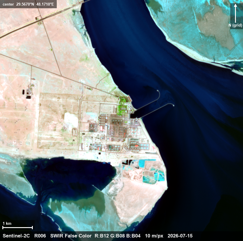
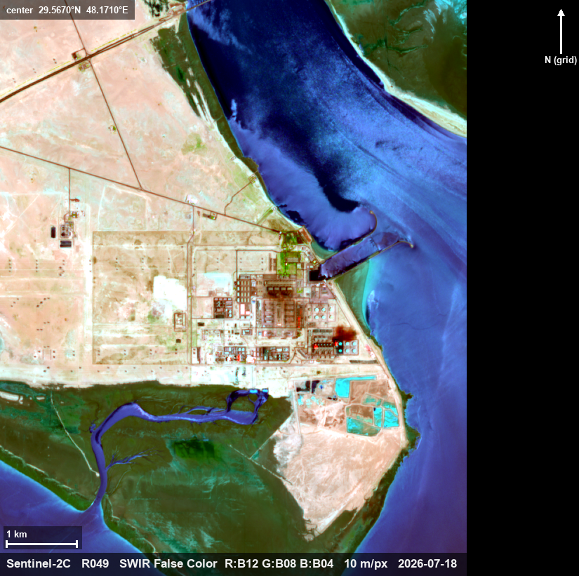
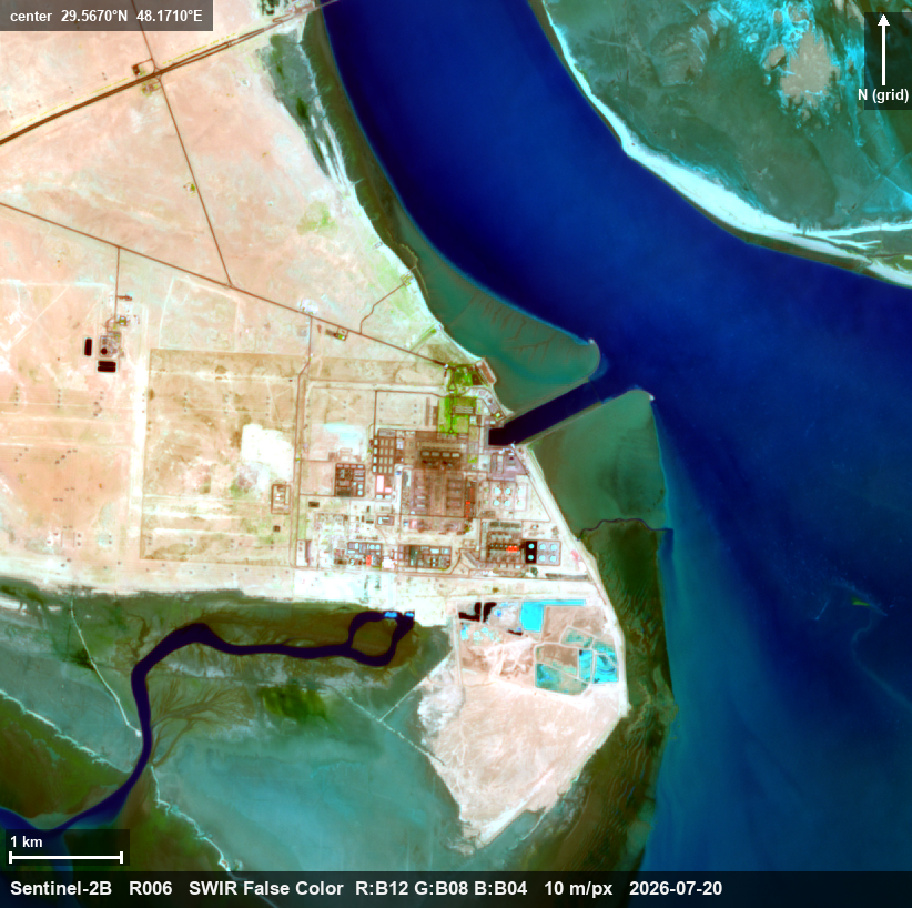
Sentinel-2 shortwave-infrared triptych of the Subiya power and desalination plant on northern Kuwait Bay: 15 July (before), 18 July (strike day), 20 July (after). On the 18 July pass, 07:26 UTC, a smoke plume rises from the generation block and drifts east-southeast — the same event shown in a satellite image distributed by Airbus DS and published by Reuters on 21 July. Kuwait's ministry confirmed fires and impaired generation across 17–20 July without naming individual plants. Colors are shortwave-infrared false color; each frame is stretched independently. Imagery: Copernicus Sentinel-2 (open data) via Microsoft Planetary Computer, rendered and annotated by NewsplanetAI.
What this imagery does not establish
This imagery confirms the strike event — the plume exists only on the 18 July overpass — not damage extent: structural damage at this plant's scale sits below the 10-meter resolution floor, and the clean 20 July frame does not show the plant is undamaged. The plant's identification follows the published Airbus caption; Kuwait's ministry did not name it. Colors differ between frames because each is stretched independently; only the localized plume is signal.